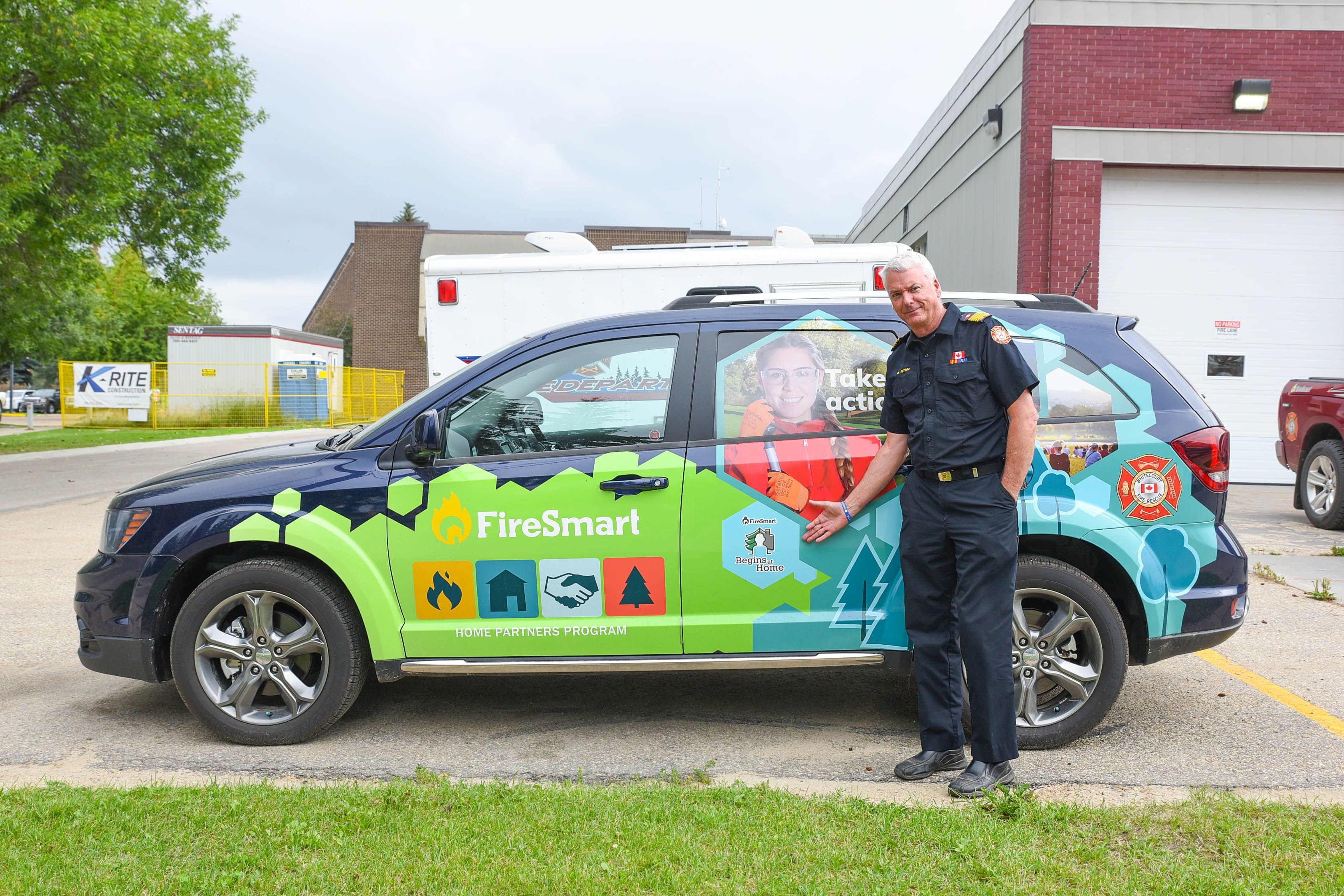
Whitecourt is once again involved in a project at the forefront of changing how wildfires, and wildfire mitigation, are handled. The Forest Resource Improvement Association of Alberta (FRIAA) regularly funds Firesmart projects such as clearing brush, which Whitecourt has taken advantage of yearly.
In 2005, Jen Beverly, a professor and wildfire scientist at the University of Alberta, kicked off a project involving Whitecourt, Fox Creek, Slave Lake, and Swan Hills. The research project was to create a new way to assess the likelihood or susceptibility of a wildfire for communities. The project ended up changing the game when it comes to mitigation planning with the creation of the Exposure Assessment Method.
“It’s really a simple thing conceptually. If you are standing in a location anywhere in the community, can fire get to you? We know how fire spreads, embers, and radiant heat, so are you in the drop zone for those embers? Can fire spread to your location? With GIS (geographic information system), this is a really simple problem. You do a moving window, search around at a given radius, and see if there are hazardous fuels that can transmit fire to you. How much is there? That’s all we mean by exposure,” explained Beverly at a recent meeting with Whitecourt Town Council.
Her attendance, along with Whitecourt Fire Chief Brian Wynn, and Alberta Wildfire’s Mike Milner, was to speak on a new project that would again include Whitecourt, the Wildfire Co-Planning Communities Firesmart Mapping Project.
“In 2005, the trend was more people wanting to do complex modelling. We said it doesn’t have to be that complicated. We know where the fuels are. We know what the hazard is, its conifer fuels, the needles. It’s the proximity that matters, and we can get 80 percent of the answers just looking at that.”
Beverly said many people try and model with the random parts of fire like weather and ignitions. “All that does is muddy the waters because that’s just randomness because you know where the hazard is, and it’s the fuels. There are exposed areas. The mapping shows the entry points into the community for fire.”
The work completed in 2005 was published in 2010, and one of the communities involved, Slave Lake, suffered a devastating fire the following year. “The fire entered the community through the exact entry points. We’ve gone back and looked at those maps, and that’s where the fire entered the community. So, we know it works,” explained Beverly.
The work from the original project, which allowed communities to better plan their wildfire mitigation strategies, and work in the areas where they might be more at risk, was largely learned in Whitecourt, making the community a founding spot. The information has since been put into a guidebook and videos to help explain how the assessment works. The study data, now branded as the Firesmart Wildfire Exposure Assessment, shows the distances at most risk from radiant heat at 30 metres, short-range embers at 100 metres, and long-range embers at 500 metres and guides risk assessments for homes, businesses and communities.
Now in 2022, Beverly is back in Whitecourt, having started the second project in April. Also funded by FRIAA, the second part is about getting the information learned from the implementation of data from the first study and getting it back into the hands of those, like Beverly, who help make sure information is available to communities. “It’s running through until December next year, and it’s a pilot project. We’ve got five communities, and Whitecourt was one of the top candidates,” said Beverly. The study will also focus on Hinton, High Level, Clearwater County and Crowsnest Pass. “This is the evolution of that back story. We published the methodology in 2010, and it took a few years to get it branded with Firesmart Canada. Now it’s an accepted methodology used in many communities across the country. What I’m seeing, though, is that there’s no feedback coming back to the beginning, to the researchers and the representatives with Firesmart Canada and Alberta Wildfire. We’re not part of the loop anymore.”
Beverly said providing the information is one thing but hearing back on implementation and receiving feedback from communities is an important piece they are missing. “That’s the whole intent of this project.” She explained that all the players would collaboratively work together to do assessments so that the information could be shared from every level.
“We are going to run this stuff on all five communities and then will get the results of these assessments, but we want to participate and learn how you use that information to inform your decisions and planning. What does it mean to you, and how can we make it better and present it in a way that’s useful? It’s that feedback process that we need,” said Beverly.
Working groups will be in Whitecourt and the other four communities through the summer, mapping fuels, documenting priority areas and touring things already done for Firesmart. The information will get compiled and starting in September, they will begin analyzing it. “In the new year, we will basically have a whole year to work on the integration part. How does this new analysis fit into the planning process, and how can you utilize it to ensure the community is well prepared for the wildfire?”
With researchers, agencies, consultants, and communities all working together, the hope is to tweak the process into a fine-tuned engine. “We know where the pathways are into the communities, and we will stack those assessments up to inform and prioritize the most at-risk neighbourhoods and communities for mitigation.”
During her presentation to Whitecourt Town Council, Beverly said that when she looked at the maps from Whitecourt from the initial study, she saw something alarming. “You have a lot more hazard, in my mind, than Slave Lake did at the same time.” Mayor Tom Pickard said he was glad to see the new study. “We don’t want to be Slave Lake. I am very pleased to see the follow-up and the totality of the plan. I know that Chief Wynn, his crew, and the SRD people have been working very diligently in this area. I hope that we can continue to keep Whitecourt safe.”
Beverly hopes this second project helps demonstrate that their planning model works. Their FRIAA funding, ending in December 2023, will then hopefully make way for new funding, enabling them to expand the program in other communities, further growing the safety net around Alberta municipalities.


More Stories
Community spirit shines at large-scale youth baseball event
Birthday party chaos sung beautifully by Pumpjack Players’ youth in spring musical
Gearing up for another season of cars, cruising and camaraderie